
OsmAnd

Open-source navigation app with detailed offline maps, turn-by-turn guidance, and specialized routes for cycling and hiking worldwide.
European Alternative to:



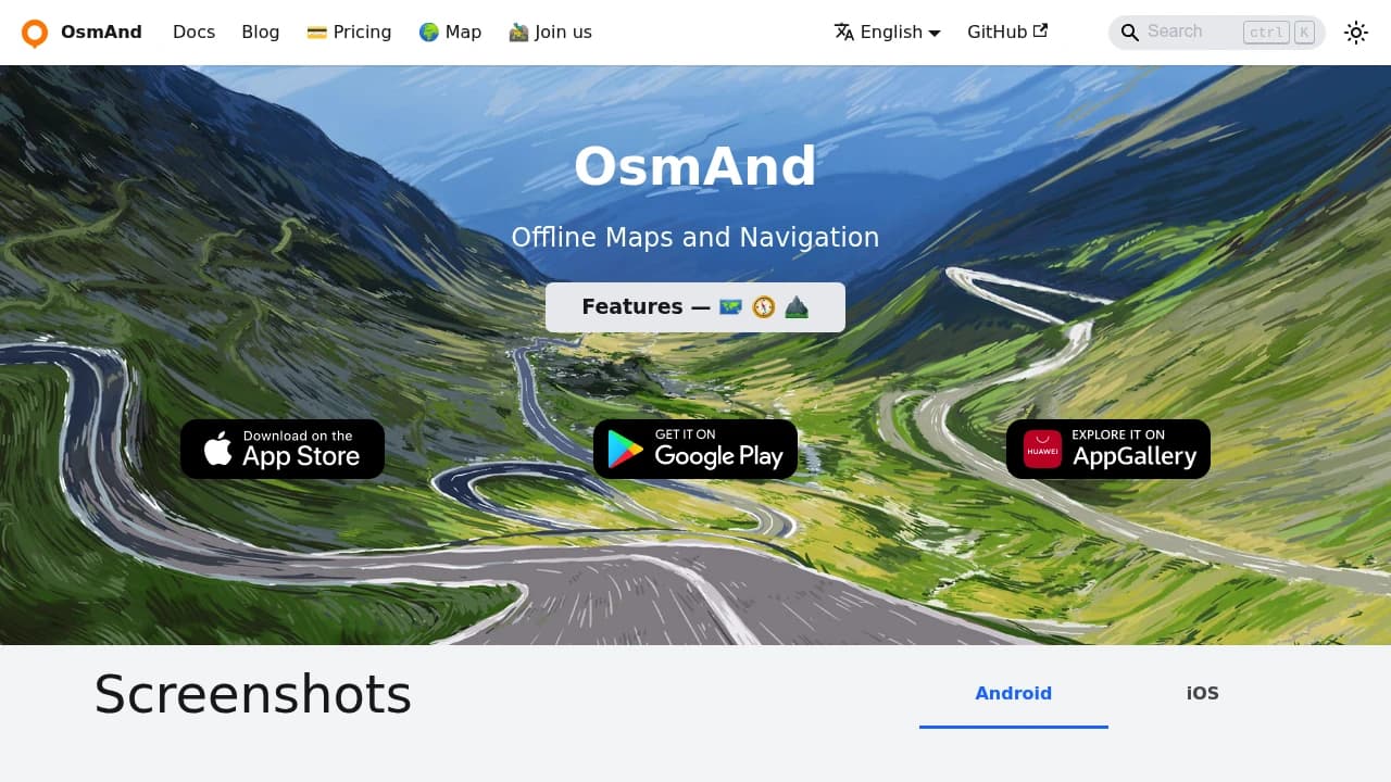
Navigate the world without internet connection using this comprehensive open-source mapping solution. Built on OpenStreetMap data, it provides highly detailed offline maps for any region worldwide, making it perfect for travelers, hikers, and cyclists who venture beyond cellular coverage.
Key features include:
- Complete offline functionality - no roaming charges or data usage required
- Turn-by-turn voice navigation with traffic warnings and lane guidance
- Specialized routing for bicycles, pedestrians, and hiking trails
- Rich point-of-interest database including Wikipedia entries for sightseeing
- Customizable map display with contour lines, hill-shading, and multiple overlay options
- Trip recording to GPX files for tracking your adventures
The app excels in outdoor activities with detailed trail maps, elevation profiles, and specialized bicycle/pedestrian navigation modes. Users particularly appreciate its privacy-focused approach - no data collection or tracking, giving you complete control over your location information.
Monthly map updates ensure you always have current information, while the active OpenStreetMap community continuously improves map accuracy and detail. Whether you're exploring remote hiking trails, navigating city streets, or planning motorcycle tours, this tool provides the comprehensive mapping solution you need.
- Monthly traffic
~129K - Ranking keywords
3.7K - Referring domains
5.4K - Domain age
16 years
Get updates on the best new European alternatives, straight to your inbox.
Similar to OsmAnd

 Proton Unlimited – Your digital life deserves better than US tech.